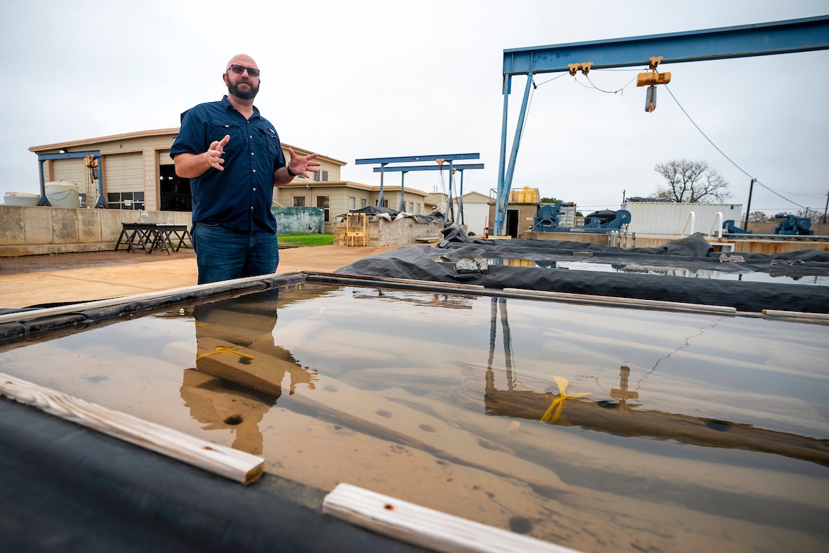
Chris Dostal, director of the Conservation Research Laboratory, pictured next to the submerged remains of the colonial-era shipwreck he is working to conserve. | Image: Laura McKenzie/Texas A&M Division of Marketing & Communications
At a humble facility that once served as the fire station for the Bryan Air Force Base, the timbers of an 18th-century merchant ship lie submerged in a row of long, shallow tanks, quietly awaiting their final voyage home.
Over the next few years, a team of Texas A&M University professors and students will carefully conserve the salvaged remains of a colonial-era shipwreck before sending the pieces back to Alexandria, Virginia, where the wreck was originally discovered in 2015.
It’s a big job, says Chris Dostal, assistant professor in the Department of Anthropology’s Nautical Archaeology Program and director of the Conservation Research Laboratory, located at the RELLIS Campus in Bryan. But as Dostal explains, Texas A&M is one of just a handful of institutions in the country with the knowledge and resources to permanently preserve this important piece of American history.
“There’s only a few places that do underwater archaeology conservation,” said Dostal, who earned both his master’s and Ph.D. in anthropology at Texas A&M in 2015 and 2017, respectively. “And I would say the vast majority of those places are all run by Aggies.”
Big Rigs Of The Sea
In the mid-to-late 1700s, the city of Alexandria was quickly becoming one of the busiest ports in America. Situated along the banks of the Potomac River, its harbor was a popular spot for merchant ships to stop and unload goods from all around the world.
These ships were sort of like the 18-wheelers of their day, Dostal said — simple, sturdy vessels built to carry tons of cargo from port to port. For 18th century Alexandrians, they would have been a wholly unremarkable sight. But to today’s archaeologists, they’re a rare treasure.
“We don’t have many archaeological remains of these ships because it’s just like a big rig — you don’t really think of it as important,” he said. “So they weren’t very well-documented, and very few of them are preserved.”
That’s why the discovery of this ship and three others like it within the span of a few years in Alexandria was such a big deal: “It’s like hitting the jackpot,” Dostal said.
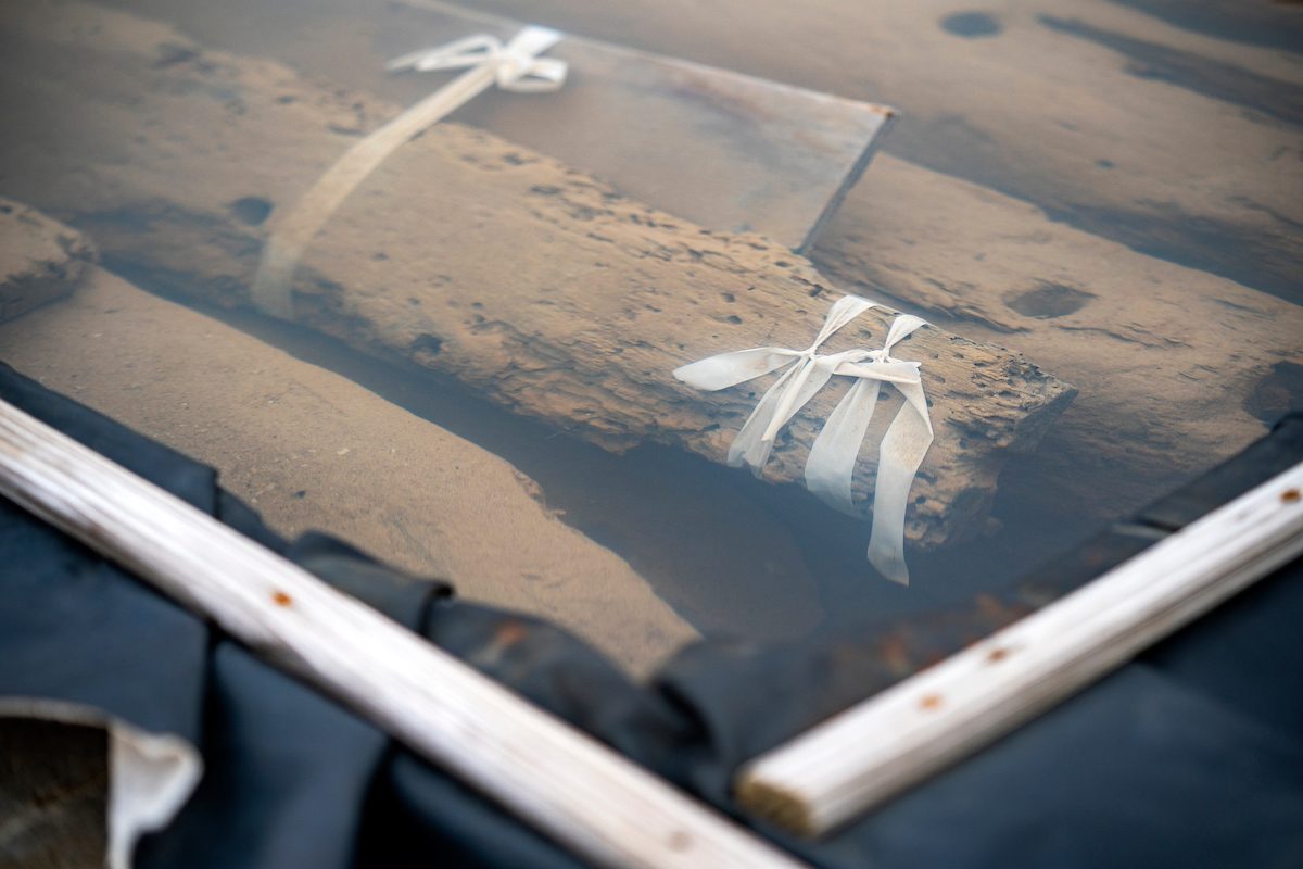
Pieces of the ship sit in vats of liquid at the RELLIS Campus. | Image: Laura McKenzie/Texas A&M Division of Marketing & Communications
All four ships were discovered by accident when construction crews started digging into the ground near the city’s present-day waterfront. The first ship, unearthed in 2015 during construction of the since-completed Hotel Indigo, was sent to Texas A&M for permanent conservation.
Dostal said this ship was probably constructed sometime during the 1750s, making it more than 260 years old.
The three other wrecks, dug up at a different site in 2018, now lie at the bottom of a pond in Alexandria’s Ben Brenman Park. The longer the water-logged wood is allowed to dry out, the more it deteriorates, Dostal said. Submerging the ships will help keep them safe for additional research and preservation efforts in the future.
Putting The Pieces Together
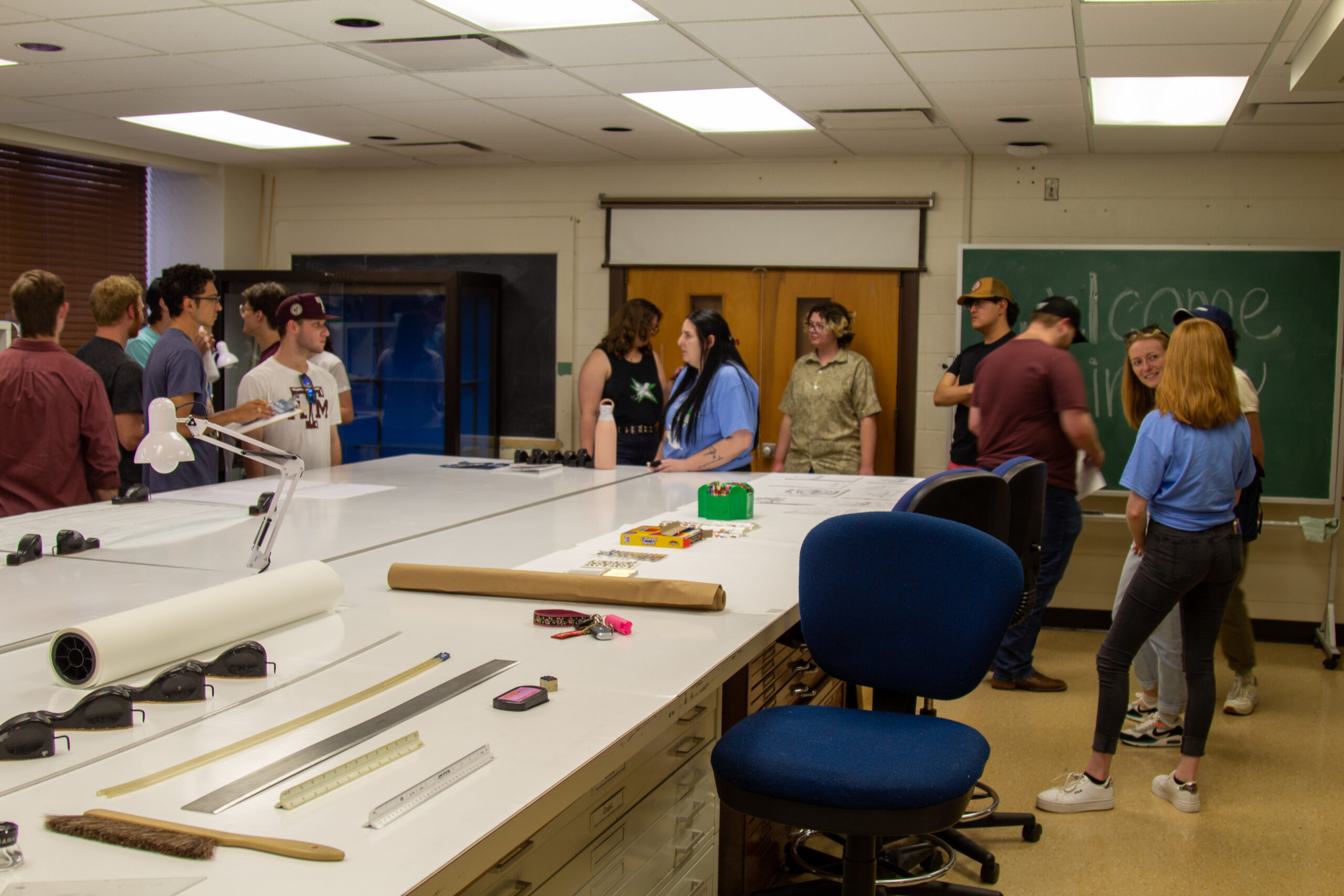
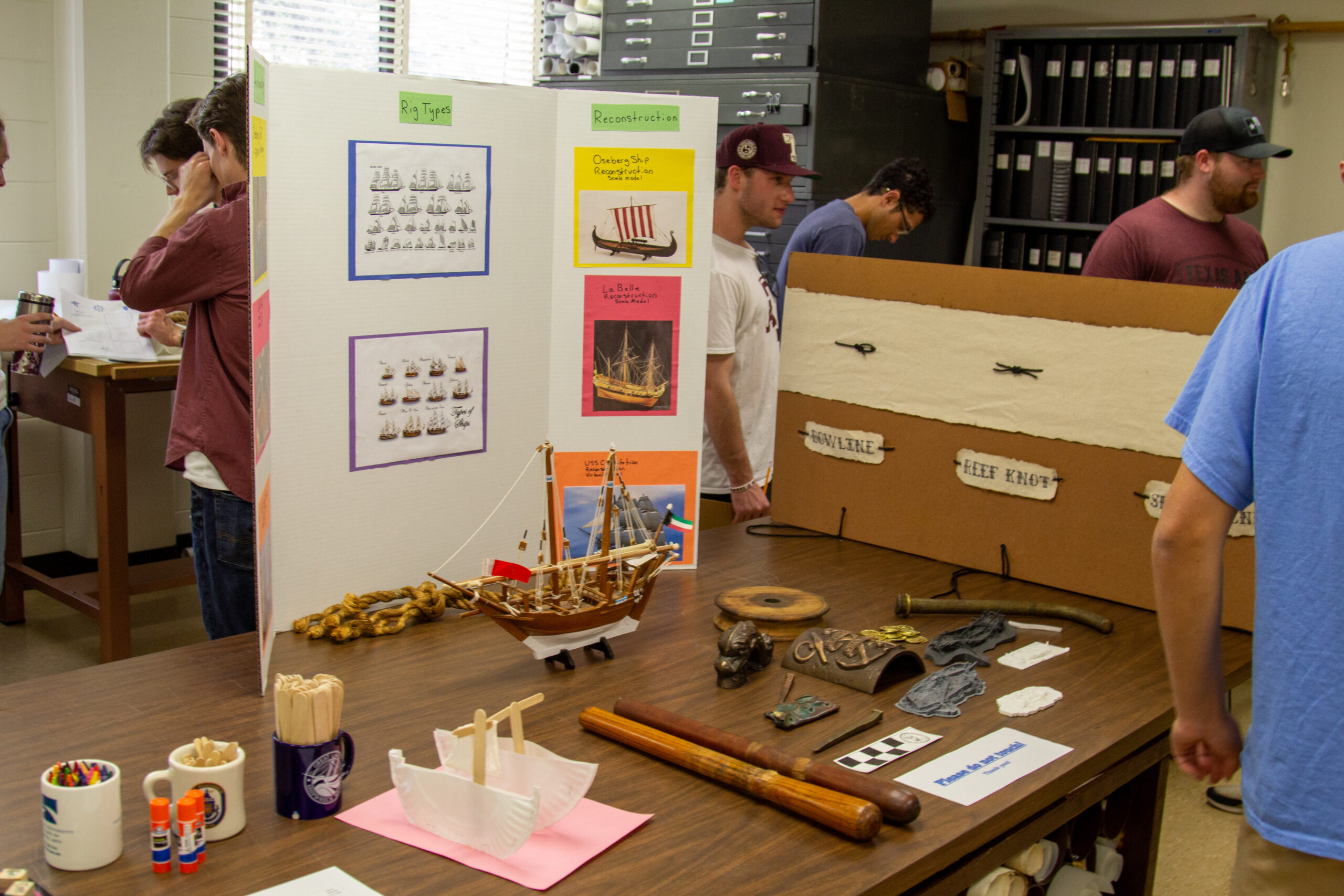
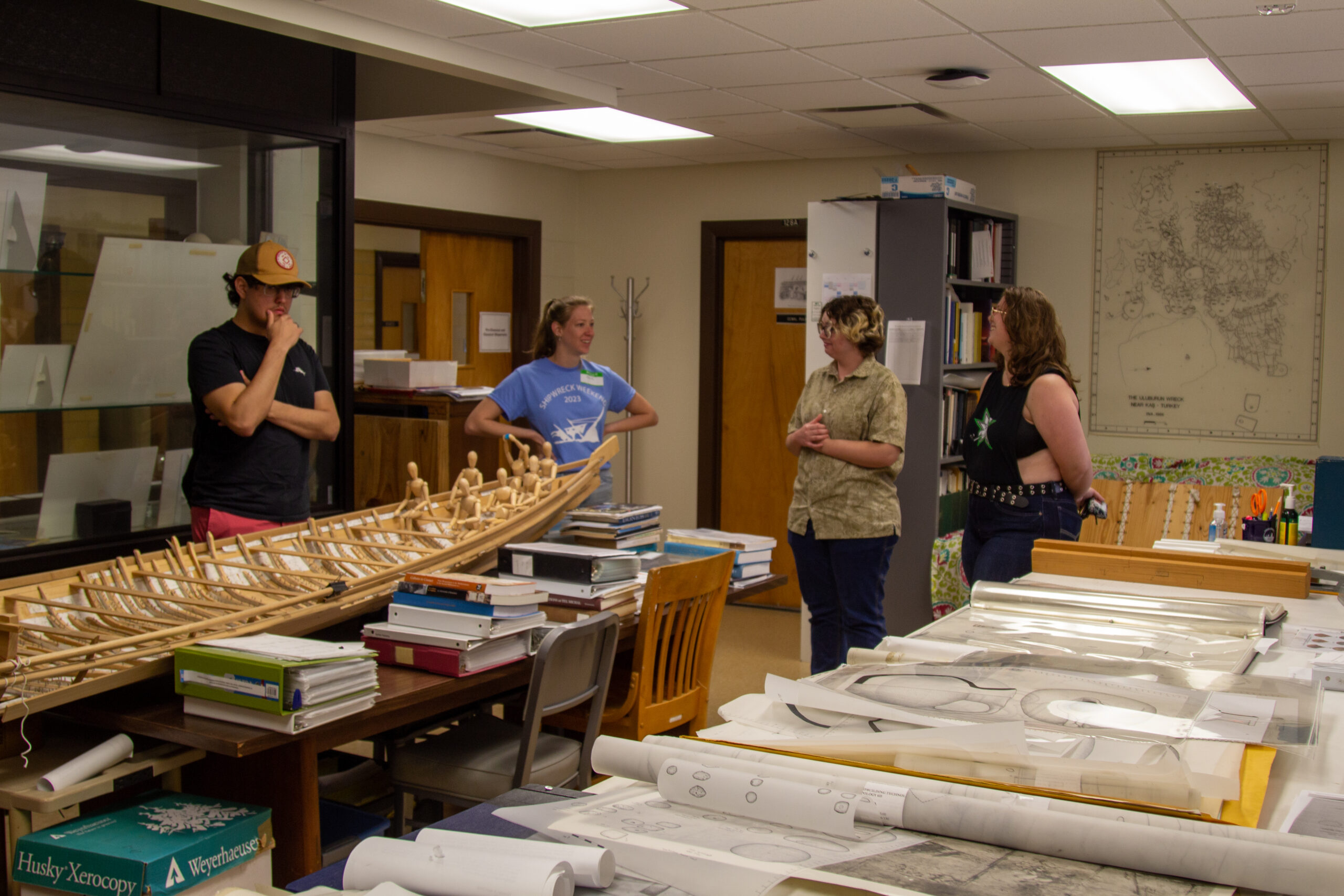
When discoveries like this are made, Aggies are often at the center of the action. The university’s world-renowned nautical archaeology program has been at the forefront of this growing field since the 1970s, when father of underwater archaeology George F. Bass chose Texas A&M as the permanent home for his research institute.
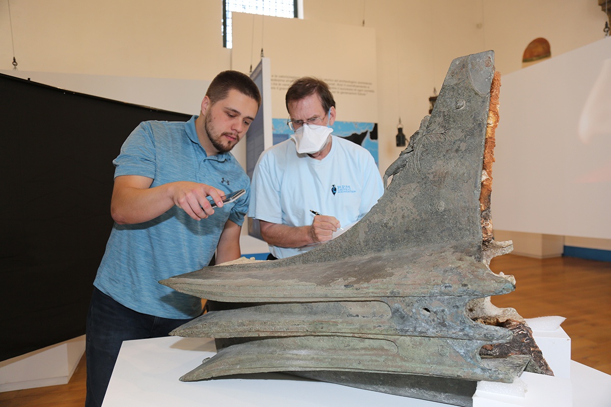
When the first Alexandria wreck was dug up in 2015, Dostal was an A&M graduate student. He and a group of fellow Aggies made the trip to Virginia to help catalog the discovery, using a unique digital scanning technique Dostal developed while studying another 18th-century ship unearthed at the site of the World Trade Center. They have since made at least eight return trips to Alexandria to scan the other three wrecks.
“Because it’s such a lengthy process, I really wanted to have all the data in front of us so that we could study the ship before all of that was done,” Dostal said.
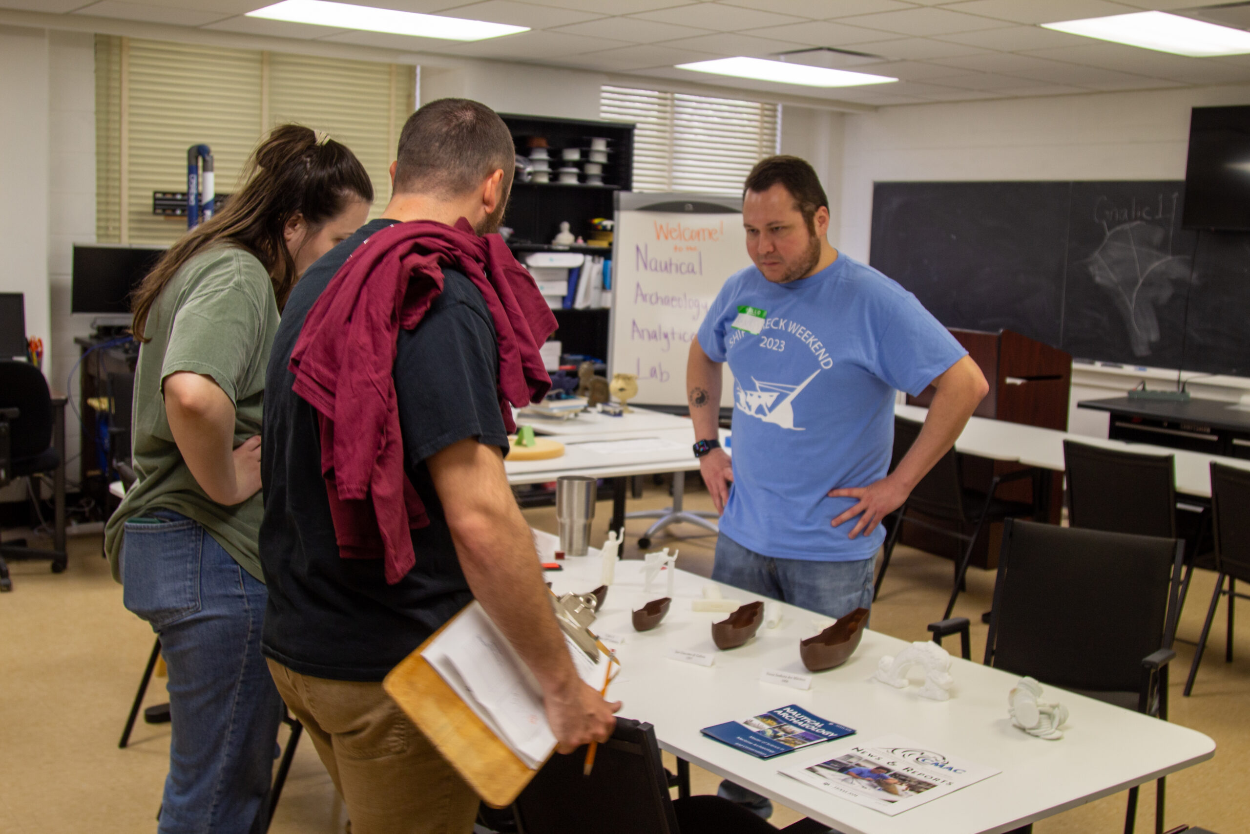
Now, while the pieces of the Hotel Indigo ship sit in vats of liquid at RELLIS, Dostal can hold a 3D-printed replica in his hand and use it to explain the team’s findings. Additional models were sent to a local museum in Alexandria so residents can learn more about the seafaring history of their city.
“We’ve been able to see all kinds of technological innovations that were being utilized at the time, the shortcuts being used during construction, and sort of the mindset of the shipbuilders,” Dostal said.
For instance, the Hotel Indigo ship would have been unnecessarily strong for its time, he explained, owing to the large number of timbers packed close together to create the ship’s frame.
“When Europeans got to the Americas, one of the things they were struck by was the amount of trees that were here,” Dostal said. “So they started building ships with this really close framing, which is incredibly unnecessary for shipbuilding, but they figured, ‘We might as well make it as strong as possible.’”
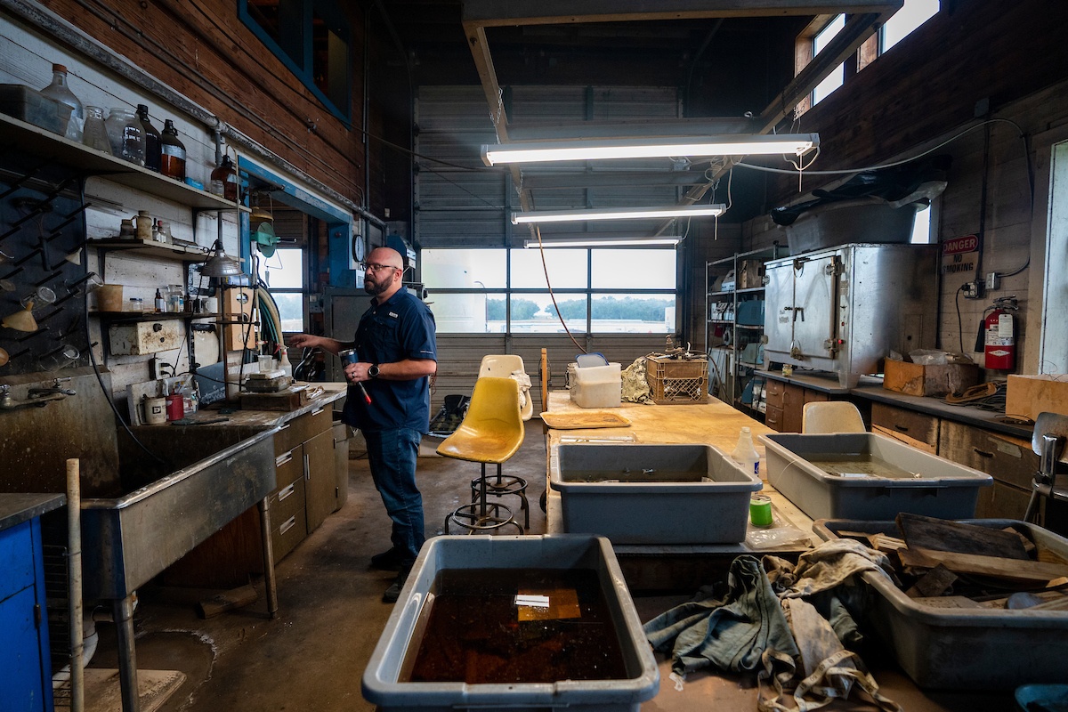
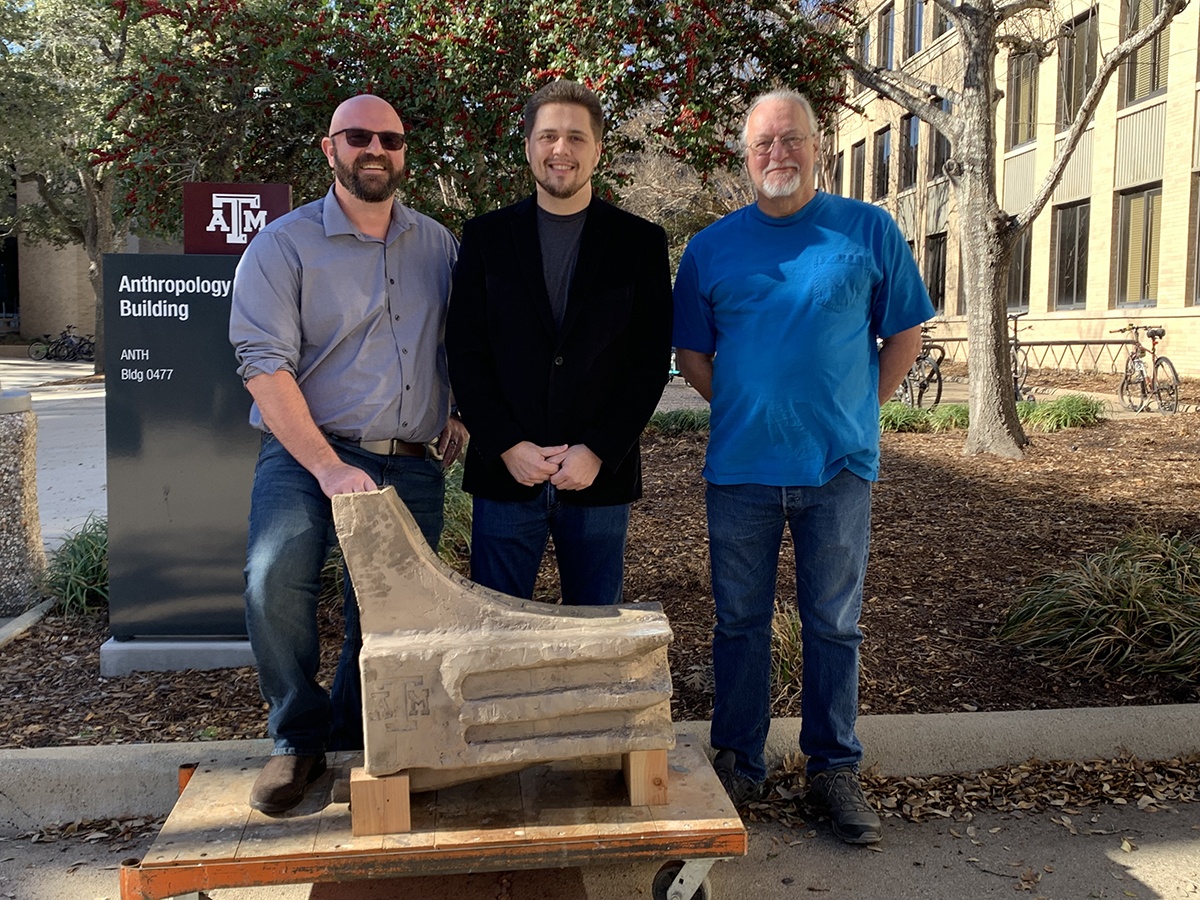
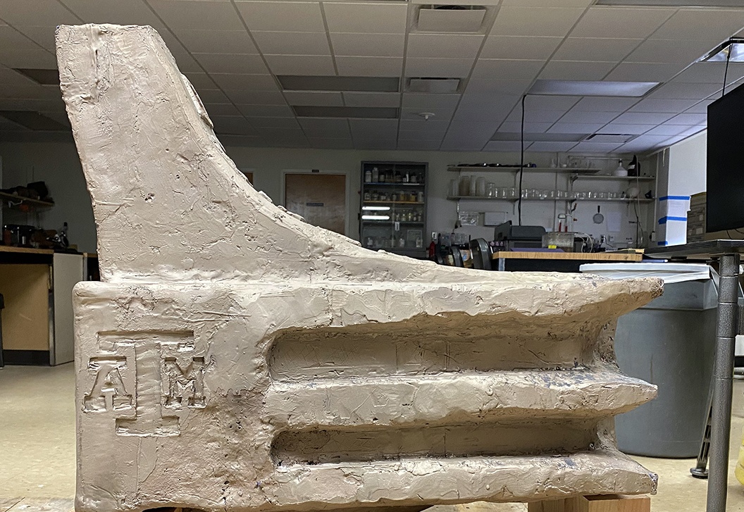
To better study the ship while it undergoes conservation, Dostal and his team created an exact digital replica by carefully disassembling the ship, digitizing each piece with a laser scanner, and reassembling those pieces in a computer program. | Image: Laura McKenzie/Texas A&M Division of Marketing & Communications
Thinking about why the ships were found underground and not at the bottom of the river opens up another window into Alexandria’s past. When these vessels had outlived their usefulness as cargo ships, Dostal said they were sawed in half and intentionally buried to help expand the city’s waterfront.
“In the 18th century, landowners started to break down the bluffs that were behind them and push the dirt into the bay, essentially creating a false chunk of land,” he said. “While they were doing that, they were using old ships, cutting the timbers across the keel until they broke open and then kind of using them as a pier or a retaining wall. So that’s why the ships were there in the first place.”
Two Centuries Of Water Damage
For Dostal and the team at the Conservation Research Laboratory, the ultimate goal is to return the Hotel Indigo ship to Alexandria in the best shape possible. Getting to that point has already involved years of hard work, and as Dostal explains, there’s still much to be done.
Transporting the wreck from Virginia to Texas was a monumental effort in its own right, as crews wrapped each piece in wet towels and foam to help the wood retain its moisture during the 1,400-mile truck ride. Now, the challenge is to safely remove all that moisture while keeping each piece intact.
“When it was buried, the wood was below the water table, so water was attacking the cells of the wood the whole time,” Dostal said. “Think of it like this: if you make a lasagna and you have a bunch of baked-on stuff around the edge, you just put the pan under the water and let the water break it down. It does the same thing to wood over time.”
Eventually, the water breaks down key components of the wood’s cellular structure, like cellulose and lignin, until the only thing keeping the cells from collapsing is the water itself, filling up each cell like a balloon.
Therein lies the problem, Dostal said: “There’s no other material in the cells to help them keep their shape, so if you let the water come out, it’ll just collapse,” ultimately turning the wood to dust.
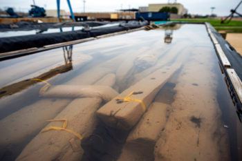
Each piece of wood is soaked in polyethylene glycol to safely remove moisture. | Image: Laura McKenzie/Texas A&M Division of Marketing & Communications
To prevent this, the team is soaking each and every piece in a solution of polyethylene glycol. This water-soluble wax will slowly be absorbed by the wood cells, replacing the water and shoring up the structure of the cells before the timbers are removed from the liquid and placed in a massive freeze dryer.
Like the process used for snacks like astronaut ice cream, freeze drying allows Dostal and his crew to quickly remove any remaining moisture from the wood without risking additional deterioration — by letting the water escape as a gas instead of seeping out as a liquid and causing more damage to the wood along the way.
It’s the same process Aggies used to preserve La Belle, a French ship that sank in Matagorda Bay during La Salle’s doomed expedition to the Americas in the 1680s. Its preserved hull is now on display at the Bullock Texas State History Museum in Austin.
The city of Alexandria has similar plans for its restored merchant ship, Dostal said: “The idea is to reassemble the ship and have it on display on the waterfront.”
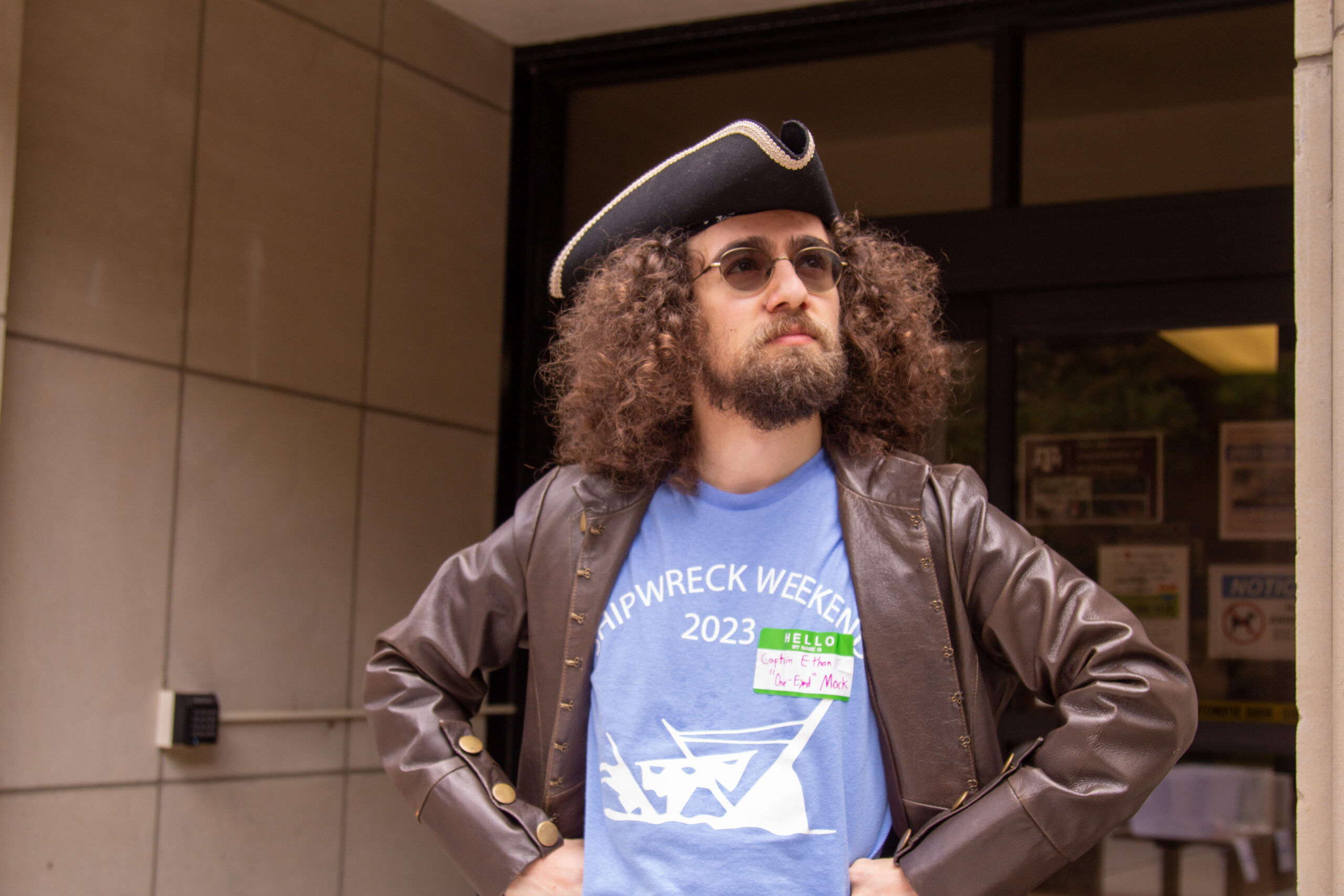
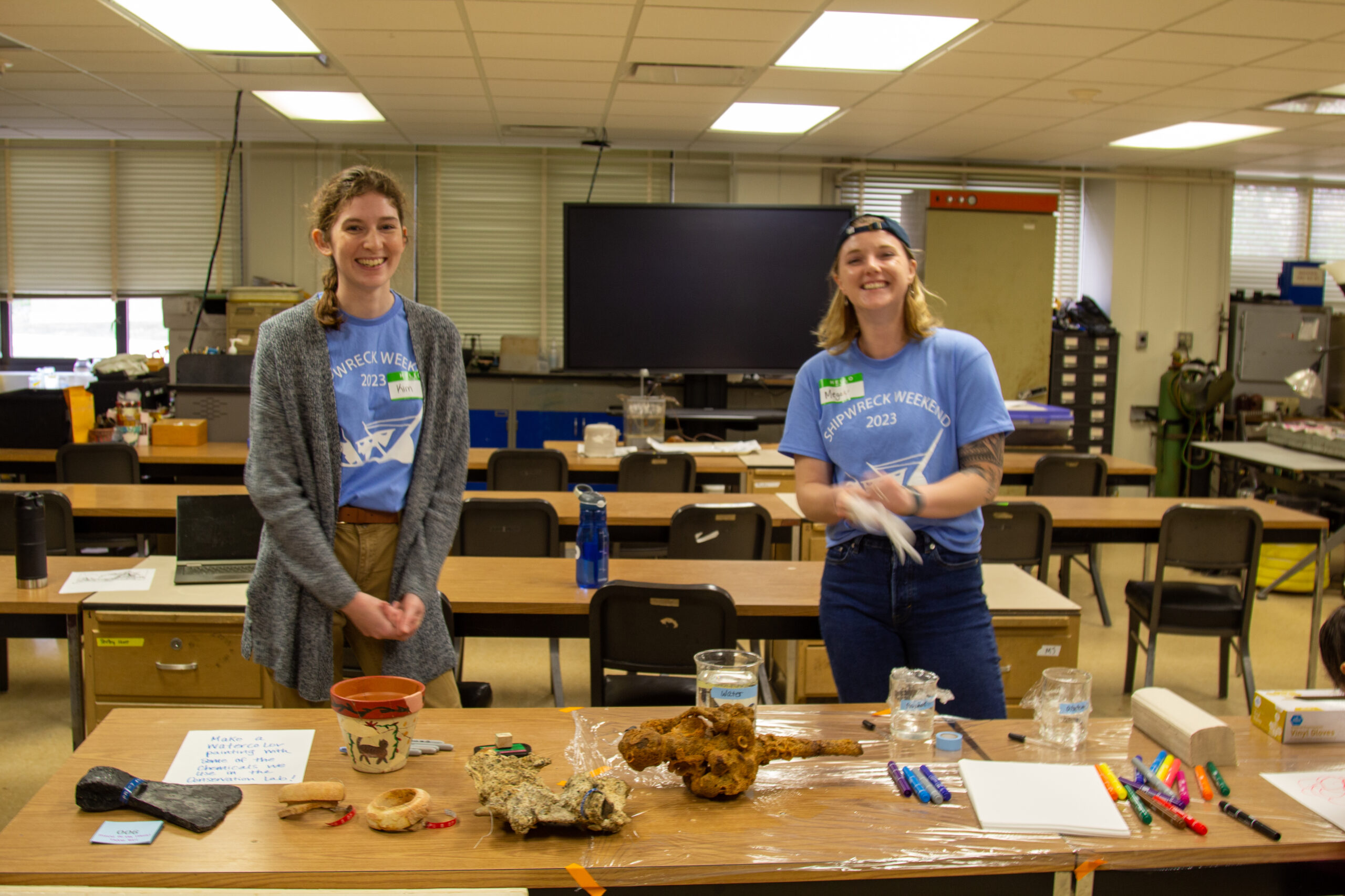
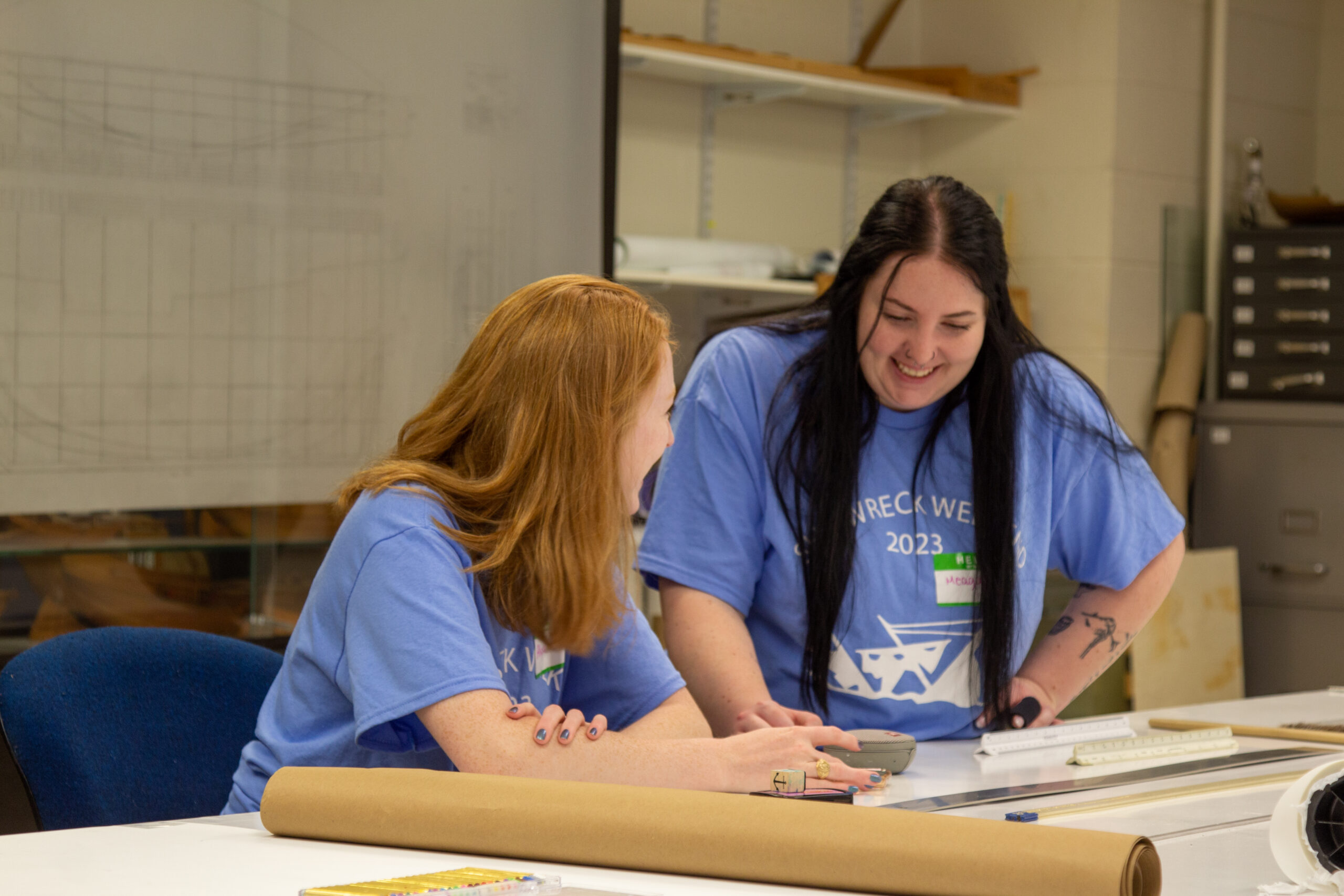
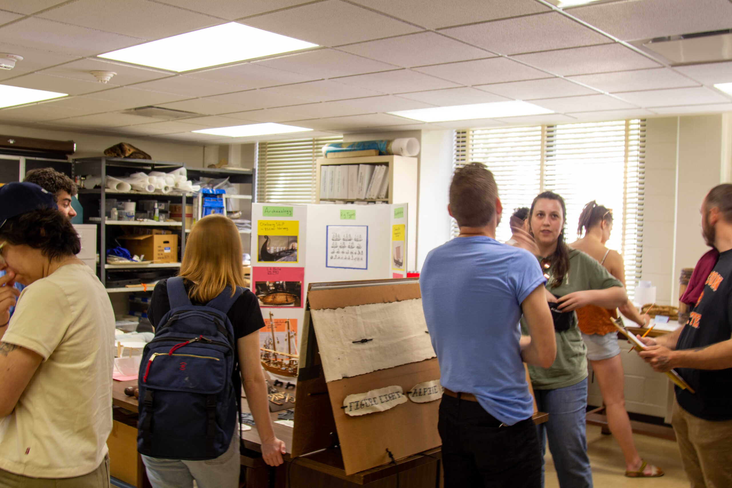
For the many Texas A&M students who have assisted with the conservation effort, the project has been a valuable hands-on learning experience. Thanks to them, countless future visitors will get to see this long-forgotten piece of history up close.
“We’ve had about a dozen grad students helping on the project, and at this point probably about a dozen undergraduate students as well,” Dostal said.
With more work ahead for this project and many others, he said the lab will continue enlisting help from this newest generation of Aggie archaeologists.
“If someone wants to get ancient splinters in their thumb,” Dostal said, “we’ll hook them up.”
This story was originally published by Texas A&M Today.
]]>


 ]]>
]]>
 I am now a professor in the department of Classical Studies at Trinity University, a small liberal arts college in San Antonio, Texas. The most popular course I teach is a survey of seafaring in the ancient Mediterranean; I think its popularity derives as much from the first word of its title, “Pirates, Merchants, and Marines”, as its subject matter. That said, history through the lens of shipwrecks is a compelling draw and I routinely get comments on my class evaluations along the line of “Not enough about pirates, but I never realized how much we can learn about commerce and technologies and warfare.” Well, of course. But I had to come to that realization myself, too, though not until I was a graduate student. My undergraduate training was in Classical and Near Eastern archaeology, at Bryn Mawr College, and while I was researching my senior thesis on the metal technologies of the Mediterranean Late Bronze Age, the discovery of the Uluburun shipwreck hit the news. This was in the very early days of the internet and I had little idea of what I was signing up for, when I applied to the Nautical Archaeology Program (NAP). I just knew I wanted in. When I stepped off the plane, I expected desert, cacti, cattle, and cowboys.
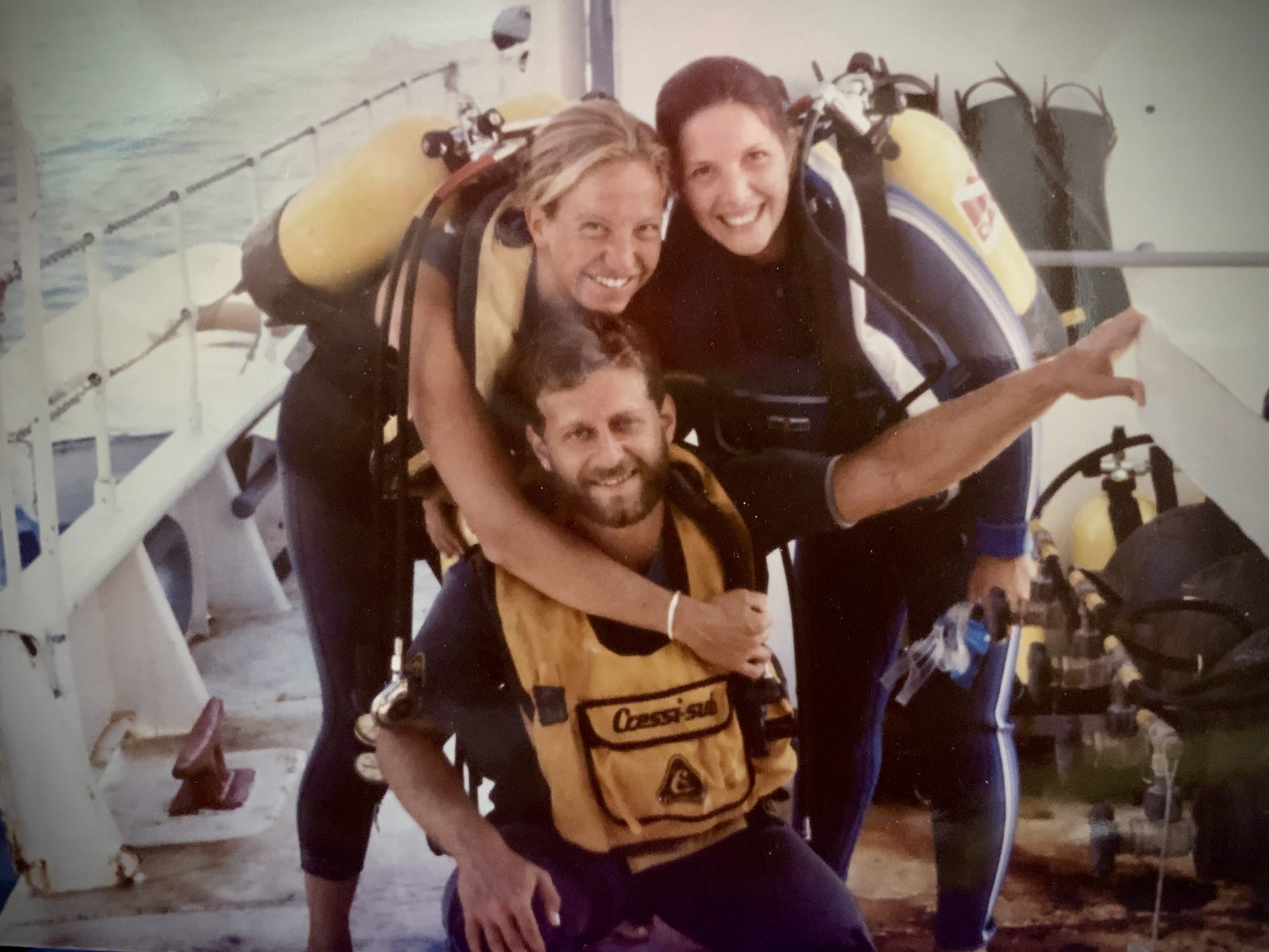
 I did not expect a red-headed stranger in an orange VW micro-bus: Jim Jobling, my prospective room-mate, coming to the rescue, to pick me up from the long line of newly shorn cadets at the admissions building. Nor did I expect the NAP buildings to be located 15 miles from campus. My cycling skills improved exponentially, by necessity. I did not expect the comradery among the graduate students or the diversity of our interests and expertise or the noon-time soccer games. I did not expect to learn about archaeobotany from Cheryl Ward or the harborworks of Caesarea from Michael Fitzgerald or drawing ships’ lines from Fred Hocker or *everything* from Cemal Pulak. (We’ve been given a word limit for this or I would mention the dozen other names that leap into my memory, Beth and Eri and Mare and ….). I did get to go to Uluburun: six glorious,
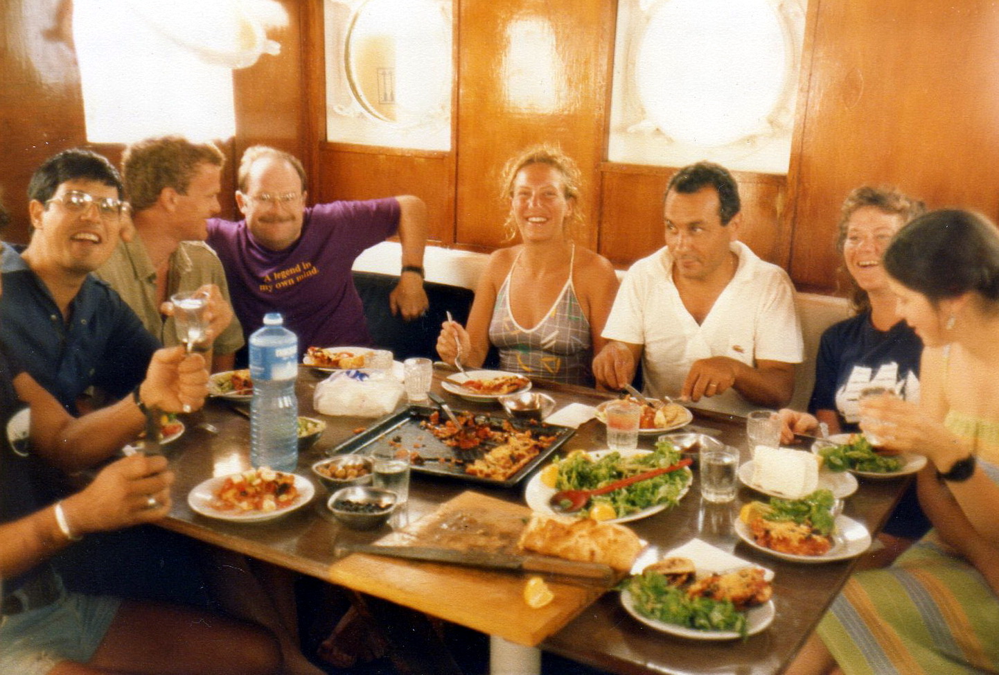
 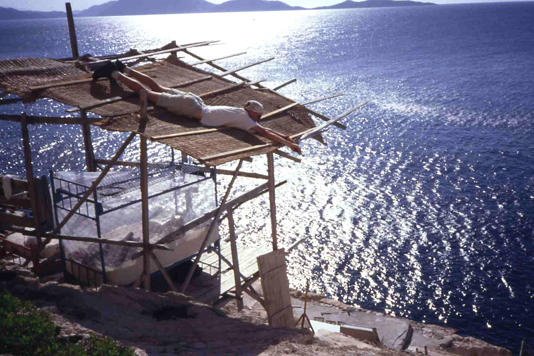 challenging summers (Faith, Sheila, Chris, Stephen, Brendan, Jack, Claire, Lillian, Caroline … again the word limit). I learned oodles: about the Late Bronze Age, about diving deep, about keeping records, about building camp, about the several hundred ways okra can be served and Sadık the cook’s one-and-only sublime lentil soup, about being a team member, about initiative, about improvising, about failure. And then the follow-up in the conservation labs, learning with and from the amazing staff (Tuba! Esra, Bilge, Gülser, Güneş…).
 Peter van Alfen is Chief Curator at the American Numismatic Society (ANS) in New York City where he oversees one of the largest collections of coins worldwide. Prior to joining the ANS in 2002, he obtained a PhD in Classical Philology at the University of Texas at Austin, after completing an MA in the Nautical Archaeology Program (NAP) at Texas A&M University in 1995. While in the NAP he participated in shipwreck excavations at Ulu Burun, Bozburun, and Tektas Burnu, Turkey, and a survey for shipwrecks in the Red Sea. His print publications include studies of Byzantine amphoras, Linear B inscribed jars, and ancient coinage and monetary systems. He also co-directs a number of NEH-funded online numismatic resource and research projects including Hellenistic Royal Coinages (numismatics.org/hrc). He currently serves on the US Mint’s Citizens Coinage Advisory Committee (ccac.gov).
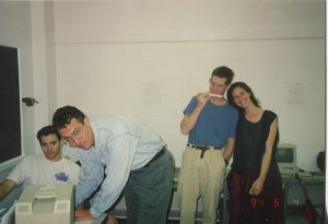
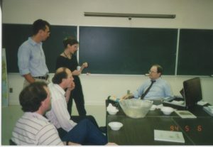 “My time in the NAP (1992–1995) was hugely formative. The faculty at the time–George Bass, Fred van Doorninck, Donny Hamilton, Kevin Crisman, Fred Hocker, and Shelly Wachsman–were all rigorous teachers, demanding academic excellence, honed writing, and polished presentations. The lessons I learned from them, not just about seafaring, ships, and trade, prepared me well for my subsequent academic and professional career. Those were intense, packed years, but they were at the same time immensely gratifying and joyful. The students and staff all worked hard together, played hard, and formed relationships that have lasted for decades.”